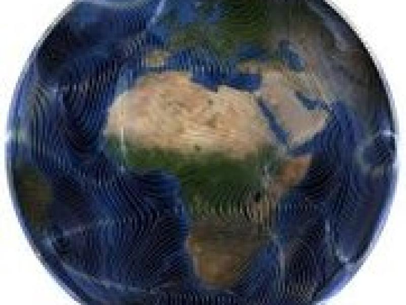
The project High Definition Clouds and Precipitation for Climate Prediction, in short HD(CP)2, is a collaboration work of scientists from vast range of fields related to clouds, precipitation and computer science. The project as a whole answers important scientific questions regarding clouds and precipitation, through simulating atmosphere in high resolution. ZIB equips HD(CP)2's cutting-edge atmospheric model, ICON, with suitable data structures, interfaces and algorithms for analyzing, depicting and comparing time-dependent, deterministic and stochastic phenomena (such as precipitation areas, ice-saturated regions, or convection cells). This includes establishing numerical and mathematical definitions for atmospheric concepts before extracting and tracking them. So far, we have proposed and tested offline diagnostics methods. We are now extending our approach towards online (in-situ) tools that run on HPC systems.
Detailed Information
Project Framework and Overall Goals
HD(CP)2 - Clouds and Precipitation Processes in the Climate System is a BMBF-funded framework project, coordinated by the Max Planck Institute for Meteorology (MPI-M, Hamburg) and lead by an interdisciplinary committee broadly representing the German atmospheric research community.
The goal of this collaborative project is to improve the understanding of cloud formation and precipitation processes in the climate system by employing ultra-high resolution simulations of limited spatial regions over short time intervals. The project has successfully developed the simulation model (Phase I); we are now enhancing and utilizing the tools in order to answer scientific questions regarding clouds and precipitation (Phase II).
The simulation utilizes a horizontal resolution of 100m and a vertical resolution up to 10m. The simulated domain will cover the entire Germany. High-quality simulation models and suitable diagnosis tools have been developed. Complex cloud formation and precipitation processes are diagnosed on this scale. Even regions outside Germany, such as Tropical Atlantic and North Atlantic, are also targeted in the simulation in order to address ambitious scientific questions on clouds and precipitation. The project also provides methods for comparing simulation results with data measured by climate observation networks.
The whole project is divided into the following modules:
- M - Cross-Cutting Modelling Activities: Improve models (with ZIB), provide workflow and infrastructure, design / execute simulation, plan & co-ordinate the resource
- O - Cross-Cutting Observation Activities: Taylor cloud and precipitation observations, expand and sustain the data archive, identify the added realism of resolving large eddies
- S - Scientific Questions: Utilize the resources in HD(CP)2 to answer scientific questions, improve the climate predictions, quantify uncertainty in climate projections
As we have shown above, our research activity contributes for the Module M, especially for further advancing the models.
Module M - Cross-Cutting Modelling Activities
HD(CP)2 has developed a simulation model based on ICON. The resulting model can take advantage of high-performance computing resources. Module M further enhances the computational efficiency and develop advanced diagnostic functionality, so that Module S can answer scientific questions.
ZIB contributes to this goal through Model Diagnostics, which finds itself as the Work Package 3 of Module M.
Model Diagnostics
We at ZIB equip the ICON climate and weather model with suitable data structures, interfaces and algorithms for analyzing and depicting time-dependent, deterministic, and stochastic phenomena (such as precipitation areas, ice-saturated regions, or convection cells). In Phase I we have provided offline feature tracking methods and offered end-user tools. In Phase II, we now advance to providing an online data analysis tool for HPC systems through tight collaborations with FUB, DLR and ETHZ.
Specifically, we continue to
(i) identify and describe structures of interest as geometric-topological objects,
(ii) develop and implement efficient and robust algorithms to extract and track these structures,
(V) compare models and measurements for atmospheric diagnosis.
Research Contributions
In order to develop diagnostics tools that are more generic and that can be utilized in a broader way than traditional tools, we aimed first at a mathematical and algorithmic understanding of spatiotemporal features established in meteorology and climate research. Together with HD(CP)2 project partners, we compiled a list of feature definitions. A common fact was that the features are algorithm specific, i.e. a mathematically rigorous definition is missing. We found that many features can be characterized as a combination of super- or sub-level sets of physical fields, sometimes considering also their topological hierarchies.
Together with our partners, we conducted a study to assess and compare a variety of existing tracking approaches with a special focus on cloud features. The goal was to obtain information about various tracking approaches with respect to computational performance (i.e., memory and CPU consumption), parallelization and scalability, parameter setup, input sensitivity and output variability (e.g., w.r.t. object life-time statistics, detection rates and event detection). To ensure high flexibility and to avoid waiting for the completion of the programming infrastructure in ICON, we focused here on offline methods. The results of this study are intended to support the selection of online processing diagnostic tools, to create a common understanding of application scenarios (e.g., feature-based comparison, feature statistics) and to identify shortcomings of current methods.
We develop algorithms for an online diagnosis that is generic enough to cover many requirements, including sufficient scalability. Another important mission is to consider the conditions of the runtime environments in practice. The online algorithm computes level sets and uses level set correspondence functions for compact, efficient, and robust description of their spatiotemporal development.
In the final project year, we are applying our object-based tracking to assess how complex phenomena are emerging in ICON's high-resolution Large-Eddy Simulations (LES). For example, with Nikki Vercauteren and Metodija Shapkalijevski (FU Berlin) in module S2, we identified detailed turbulent mixing in the nocturnal atmospheric boundary layer. This was possible thanks to ICON's high-resolution LES. Together, we propose model enhancements that allow the newly found event to trigger cloud generation through parametrization. In another example, we have been working with Bastian Kern (DLR) in the M module to connect our online diagnosis tool to the LaMETTA tracer to concentrate LaMETTA's trajectory seeds around convective regions.
